Take a Hike
Jughandle Mountain
Hiking in the cool, pine-scented mountain air and sunshine has a certain magic that refreshes the soul, and Jughandle Mountain is just the place to find that rejuvenation.
With its steep south slope and the hint of a vertical north face, Jughandle and its 8,310-foot summit punctuates the skyline east of McCall. Ease of access, beauty, and a plethora of options for outdoor recreation makes Jughandle an ideal adventure destination in Southwest Idaho.
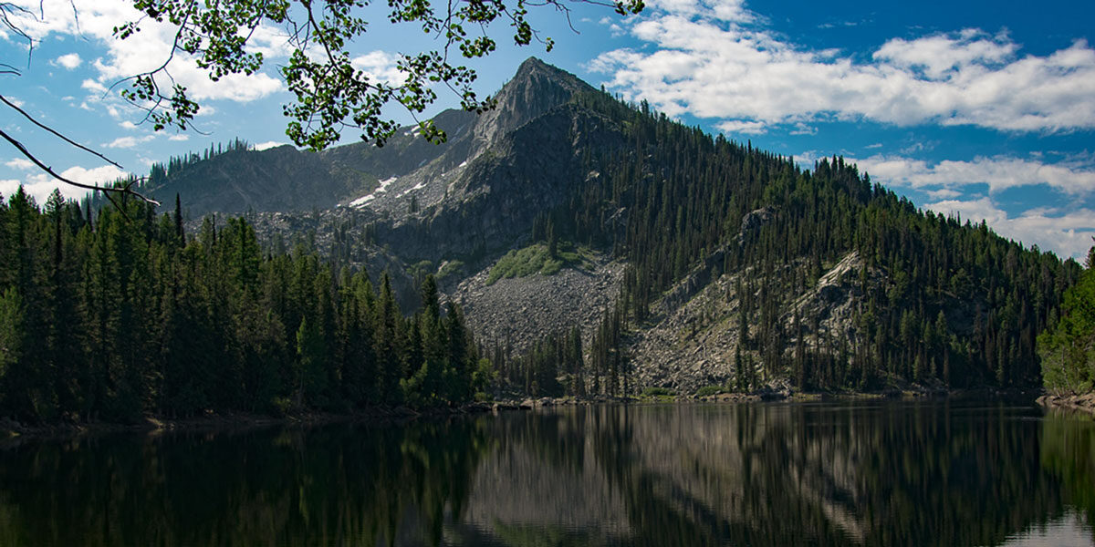
As you ascend along the two-mile trail toward Louie Lake the landscape transforms into a subalpine forest with slender green spires of Rocky Mountain firs slicing into the air and low brush carpeting the ground. Over a rise, Louie Lake stretches in front of you with deep-blue water so pristine and inviting you feel like you want to jump right in.
Continuing along the trail skirting the lake’s west side, impressive rock cairns guide you to the peak’s northwest ridge where rapid elevation gain is rewarded by ever-expanding views. A rock outcrop with a view of the lake far below is the perfect place to stop and snap a photo.
Before you know it, the trees are below you and the steepness eases. Once at the summit, go slowly. Sure footing is a must when navigating the boulder fields. You’re surrounded by a panorama of Southwest Idaho’s tallest mountains. McCall and Payette Lake below to the right. Long Valley stretching miles into the distance on the left.
Behind you? More alpine lakes and peaks begging to be explored. But for now, take a few moments to stop, catch your breath, and enjoy the environment in sublime peace and quiet.
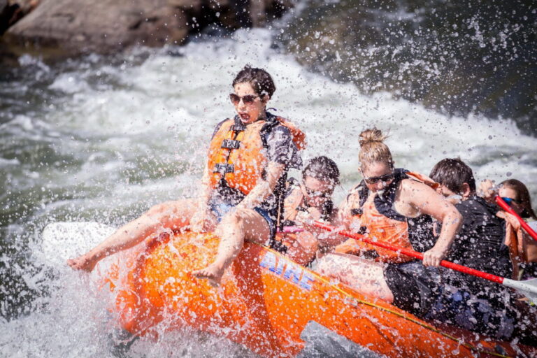
JUGHANDLE MOUNTAIN AND LOUIE LAKE ARE A DAYTRIP-SIZED TASTE OF SOUTHWEST IDAHO’S ALPINE PLAYLAND WHERE THERE ARE OUTDOOR ACTIVITIES EVERYWHERE:
- Hiking Jughandle Mountain
- Hiking around Louie Lake
- Picnicking
- Swimming
- Fishing
- Rock climbing
- Snowmobiling
- Cross-country skiing
- Snowshoeing
- Read a book
- Napping
Getting There – Directions from McCall:
- Head south on ID-55 for approx. 7.4 miles to the city of Lake Fork
- Turn left onto E. Lake Fork Road and drive for 2 miles
- You’ll come to Farm to Market Road. When you get there turn left onto it.
- After 3 miles, turn right on to Boulder Lake Road
- Follow Boulder Lake Road to the Louie Lake Trailhead. There are many road forks along the way. If you get lost, ask someone. People are nice here!
23 mins. / 9.3 miles from Lake Fork